Tirana
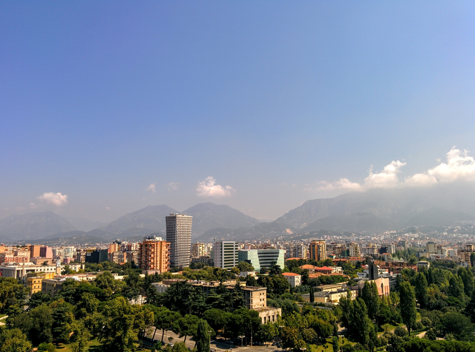
Tirana is the capital and largest city of Albania. It is located in the center of the country, enclosed by mountains and hills with Dajti rising to the east and a slight valley to the northwest overlooking the Adriatic Sea in the distance. Due to its location at the Plain of Tirana and the close proximity to the Mediterranean Sea, the city is particularly influenced by a Mediterranean seasonal climate. It is among the wettest and sunniest cities in Europe, with 2,544 hours of sun per year.
Tirana extends at the Plain of Tirana in the centre of Albania between the mount of Dajti in the east, the hills of Kërrabe, Sauk and Vaqarr in the south, and a valley to the north overlooking the Adriatic Sea. The average altitude is about 110 meters (360 ft) above sea level, with a maximum of 1,828 metres (5,997 feet) at Maja Mincekut of Mali me Gropa in Shenmeri.
The city is surrounded by two important protected areas: the Dajti National Park and Mali me Gropa-Bizë-Martanesh Protected Landscape.
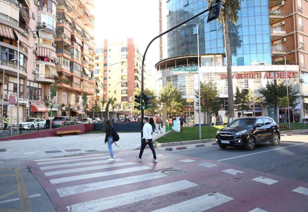
Tirana Center (Qendra e Tiranës) In the 30s of the last century, the Center of Tirana experienced the most important transformation in its history. New government buildings were built and “Skënderbe” square was contoured. Their construction was an important step for the transformation of Tirana into a modern, European and western capital.
In the years 1929-31, the Center of Tirana turned into a construction site conceived by the Italian architects Armando Brasini and Florestano de Fausto. The complex of ministries and the City Hall were built according to the design of Florentine architect Florestano de Fausto.
Ex-Block (Ish Blloku) is an upmarket area in Tirana, Albania. It widely known as an entertainment destination with its boutiques, shops, restaurants, trendy bars, pubs, and cafes. The area is part of the neighbourhood of Tirana e Re in southwestern Tirana. During the peak summer months, its trendy bars transfer along the Albanian Riviera.
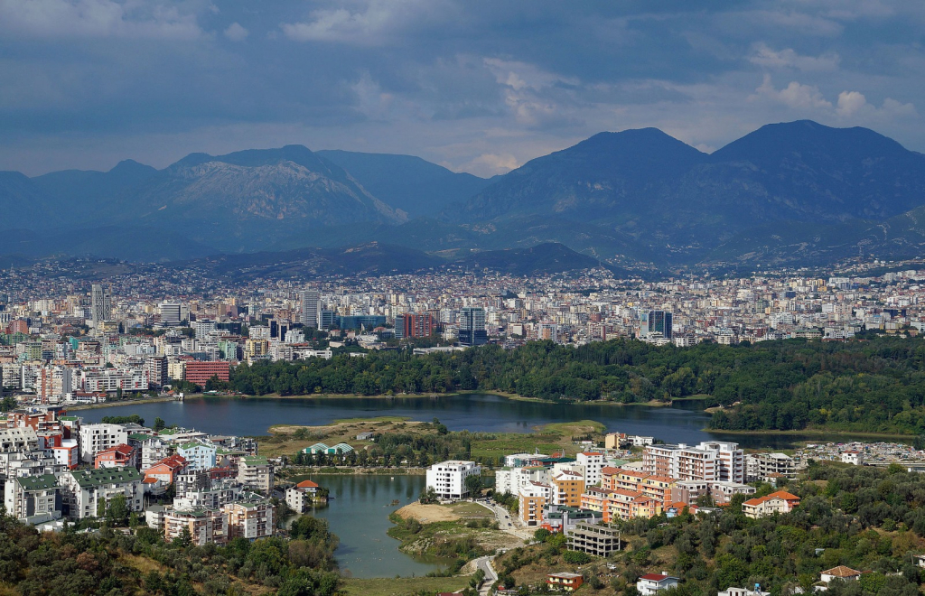
New Tirana (Tirana e Re) is a neighborhood of Tirana. It extends in the southern part of the city, starting from the “university library” near the former block, continues along the Selman Stërmasi stadium and reaches the Vasil Shanto school. Recently, the extension has taken on unusual proportions, as a result of the construction of many buildings around the greenhouses and hills of the artificial lake, expanding the extension of this neighborhood beyond the botanical garden.
Selvia or the neighborhood of Selvia is an old autochthonous neighborhood of Tirana. The name of this neighborhood, according to the testimonies of the oldest residents of Tirana, comes from the fact that in front of the Congressi Përmet school there was a cypress tree which is still there to this day.
Lapraka (Laprakë) is a neighbourhood of Tirana, Albania, located west of the main centre. It is mainly a residential district, but also contains the Tirana Military Hospital, the Albanian Mobile Communications building, the ProCredit Bank building and several other high-rise buildings, a football pitch, and a petrol station.
Brraka is one of the oldest neighborhoods of the city of Tirana. The neighborhood of Brrakka lies in the northwestern part of the city center of Tirana, being limited to the North by the Middle Ring between the Train Station and the Black Bird; Durrës and Fortuzi Street in the South and Zog I Boulevard in the East.


